0
Skip to Content
Untitled
Home
About Us
Services
GIS Solutions
UAS Data Collection
GPS Data Collection
Disaster Support
News
Clients
Contact
Untitled
Home
About Us
Services
GIS Solutions
UAS Data Collection
GPS Data Collection
Disaster Support
News
Clients
Contact
Home
About Us
Folder: Services
Back
GIS Solutions
UAS Data Collection
GPS Data Collection
Disaster Support
News
Clients
Contact
eBee Drones Help GeoAcuity Rapidly Survey 20,000 Acre Wind Farm Site
Jason Knowles 3/9/21 Jason Knowles 3/9/21

eBee Drones Help GeoAcuity Rapidly Survey 20,000 Acre Wind Farm Site

Read More
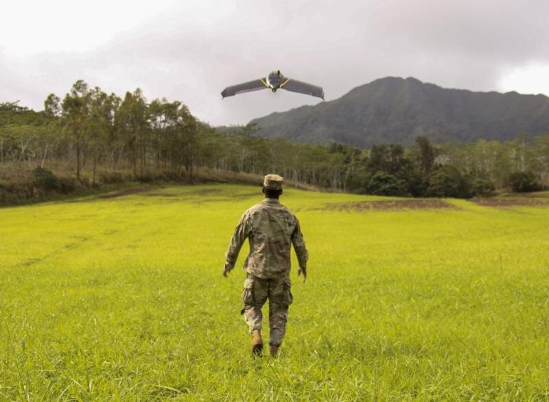
Soldiers’ Equipped with ‘Game-Changing’ Drone Technology
Jason Knowles 2/17/21 Jason Knowles 2/17/21

Soldiers’ Equipped with ‘Game-Changing’ Drone Technology

Read More
GeoAcuity Featured in ESRI User Story for Wildfire Analytics
Jason Knowles 2/1/21 Jason Knowles 2/1/21

GeoAcuity Featured in ESRI User Story for Wildfire Analytics

Read More
GeoAcuity is designated with Esri’s Release Ready Speciality
Jason Knowles 1/5/21 Jason Knowles 1/5/21

GeoAcuity is designated with Esri’s Release Ready Speciality

GeoAcuity has been designated with Esri’s Release Ready Speciality.

Read More
GeoAcuity partners with CSRS for the implementation of an Enterprise GIS for the St. Bernard Port Harbor & Terminal District
Jason Knowles 11/16/20 Jason Knowles 11/16/20

GeoAcuity partners with CSRS for the implementation of an Enterprise GIS for the St. Bernard Port Harbor & Terminal District

GeoAcuity is excited to collaborate with CSRS on the implementation of a port-wide Enterprise GIS System to support the St. Bernard Port Harbor & Terminal District

Read More
What comes next: mapping after the Californian wildfires
Jason Knowles 11/4/20 Jason Knowles 11/4/20

What comes next: mapping after the Californian wildfires

Joint blog post on GeoAcuity's use of Pix4Dreact

Read More
GeoAcuity partners with Continental Mapping for statewide asset inventory of California highways
Jason Knowles 10/15/20 Jason Knowles 10/15/20

GeoAcuity partners with Continental Mapping for statewide asset inventory of California highways

GeoAcuity Partners with Continental Mapping for Statewide Asset Inventory of California Highways

Read More
GeoAcuity supports multi-agency drone task force in the aftermath of California wildfires
Jason Knowles 10/1/20 Jason Knowles 10/1/20

GeoAcuity supports multi-agency drone task force in the aftermath of California wildfires

GeoAcuity supports multi-agency drone task force in the aftermath of California wildfires

Read More
GeoAcuity works with Wingtra to support wildfire damage mapping
Jason Knowles 9/20/20 Jason Knowles 9/20/20

GeoAcuity works with Wingtra to support wildfire damage mapping

GeoAcuity works with Wingtra One platform in the aftermath of California wildfires

Read More
Expanding the Utility and Interoperability of Rapidly Generated Terrain Datasets
Jason Knowles 4/1/20 Jason Knowles 4/1/20

Expanding the Utility and Interoperability of Rapidly Generated Terrain Datasets

Read More
Newer Posts

GeoAcuity LLC | contact@geoacuity.com

Los Angeles, CA 90275 | Lafayette, LA 70503